Boston
Yanxiang Yang, Xinming Sun, Wei Dong and Junkai Huang
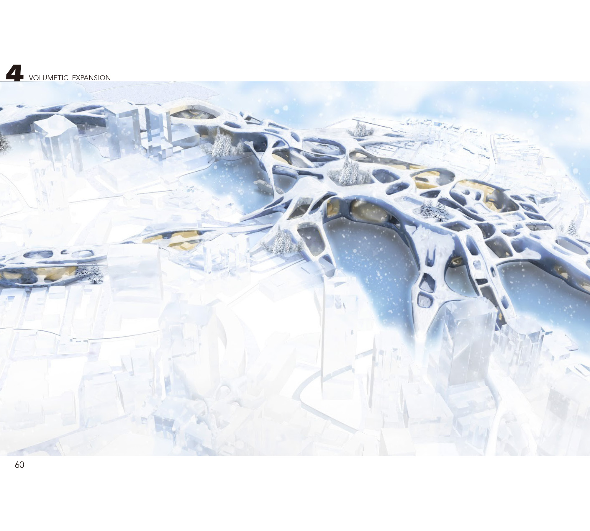
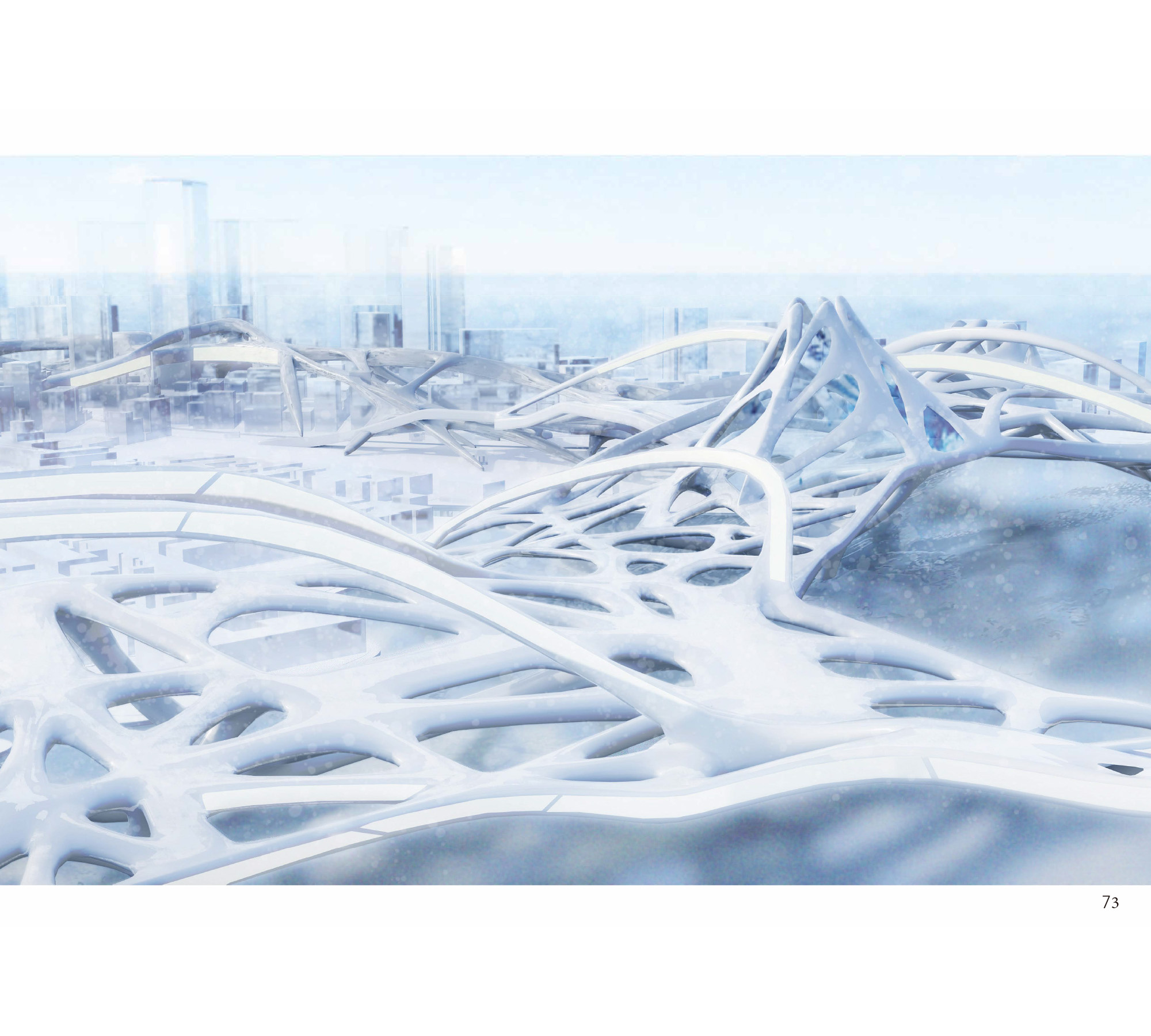
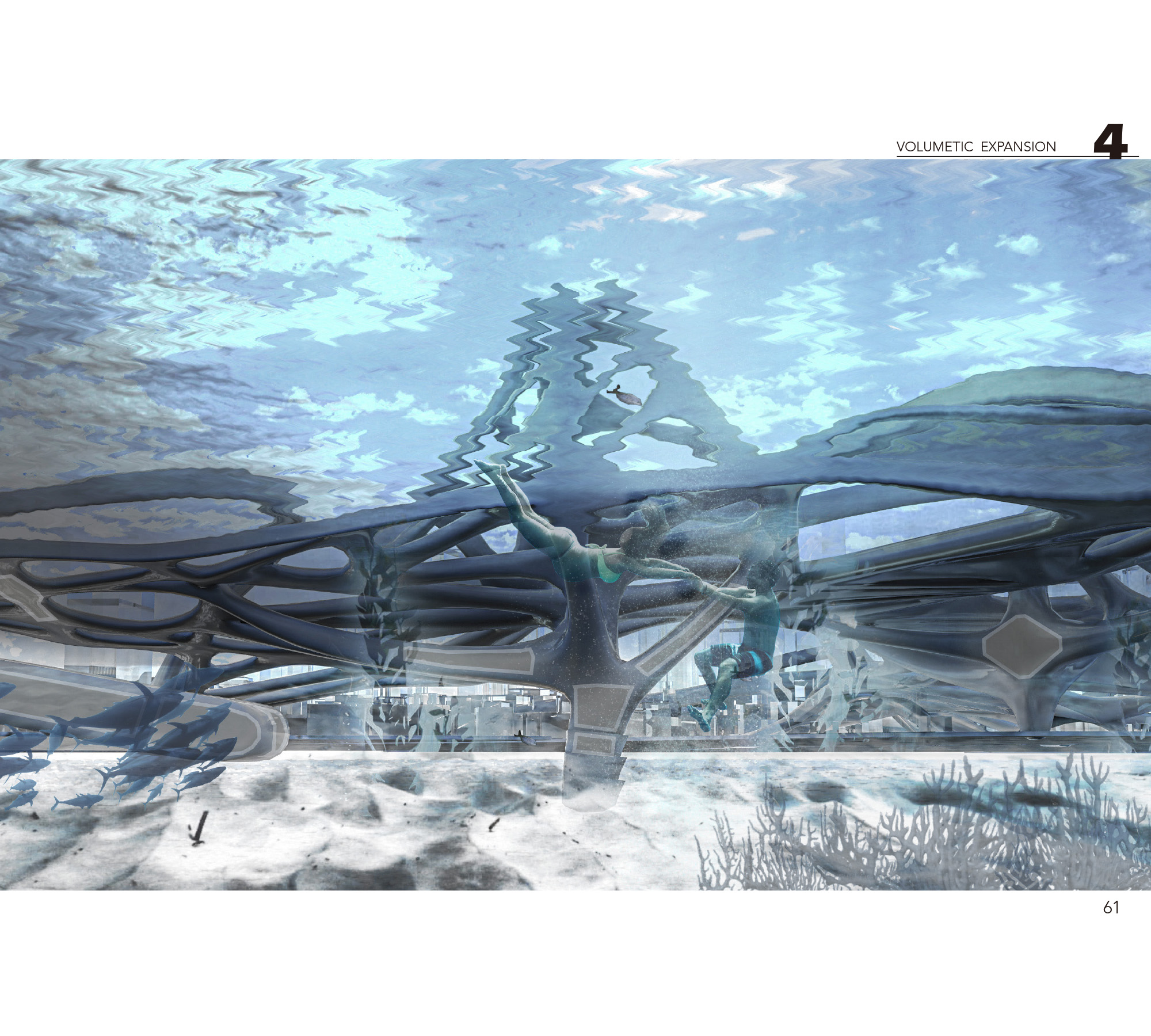
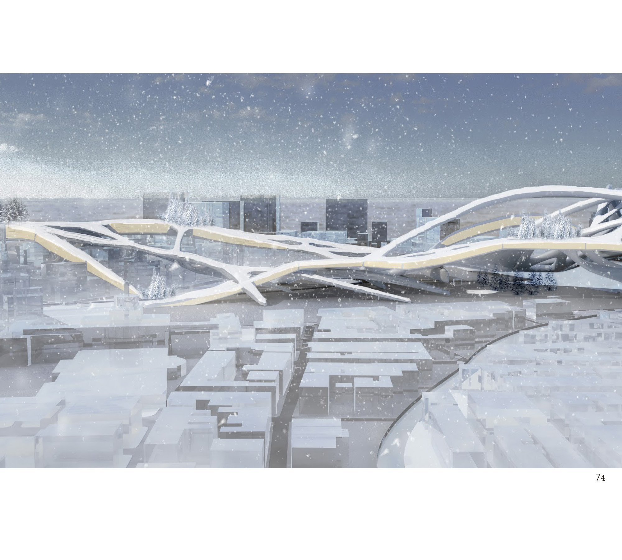
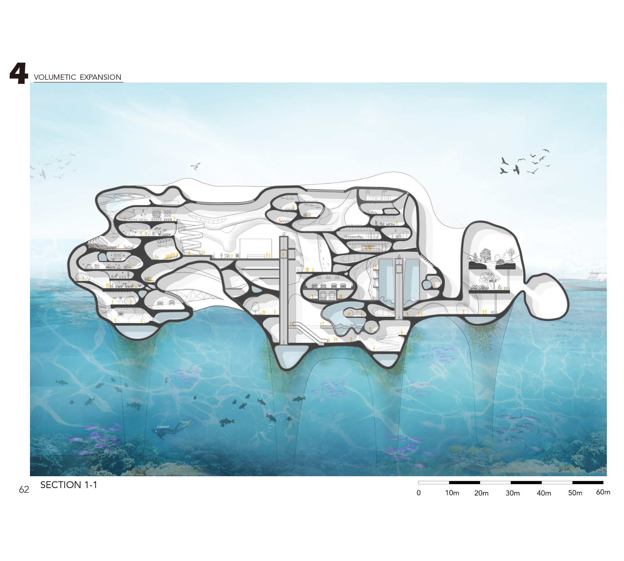
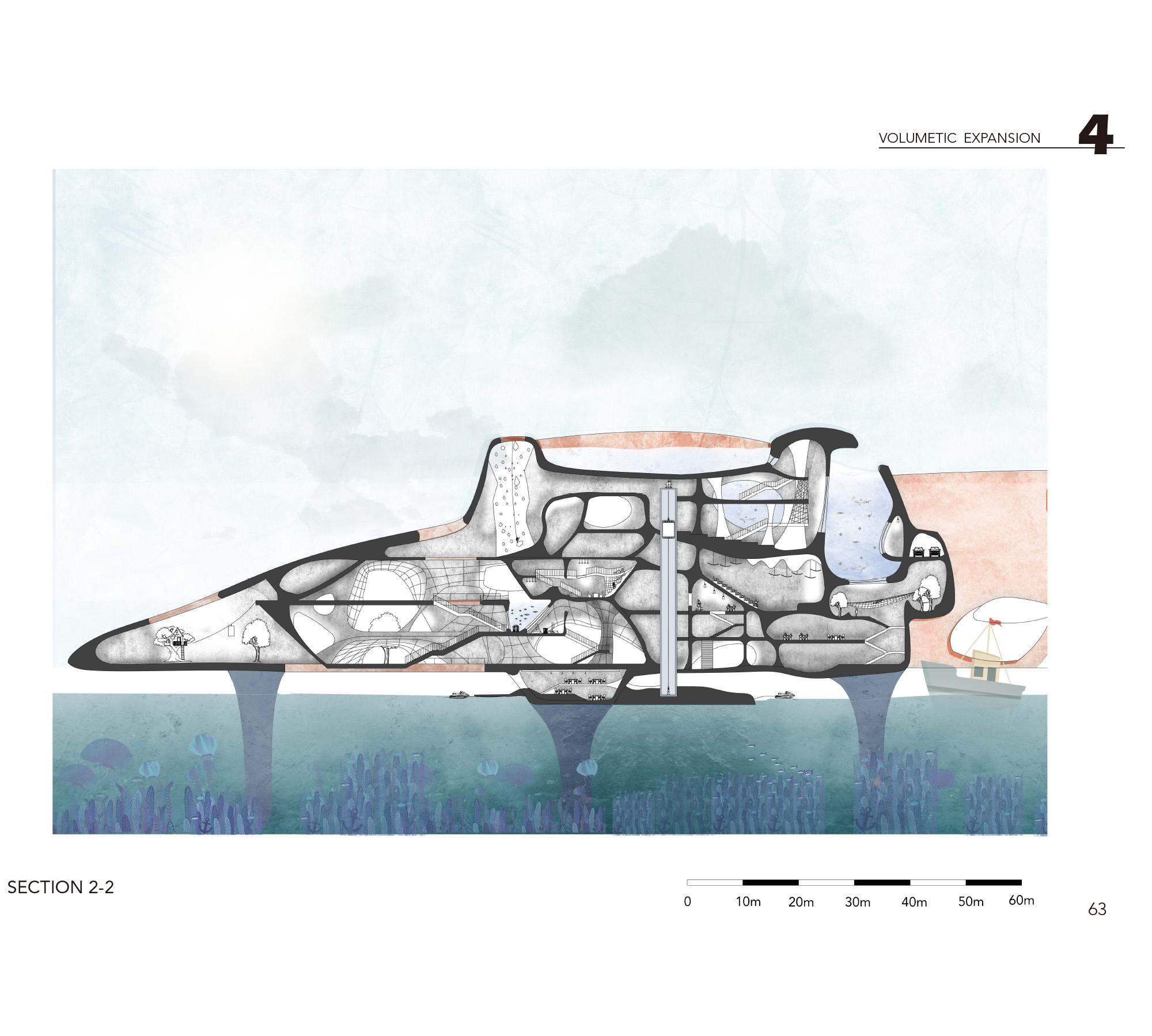
Boston is a harbour city which could face the risk of flood. With sea level increasing, the central square on the North and city park on the South will be firstly submerged, and the city could form a new network of a potential river after a series of heavy rain. We can predict half of Boston could be eaten out by increasing sea level, People cannot escape from water but people can live with water. And people can even live by the water, on the water and under the water.
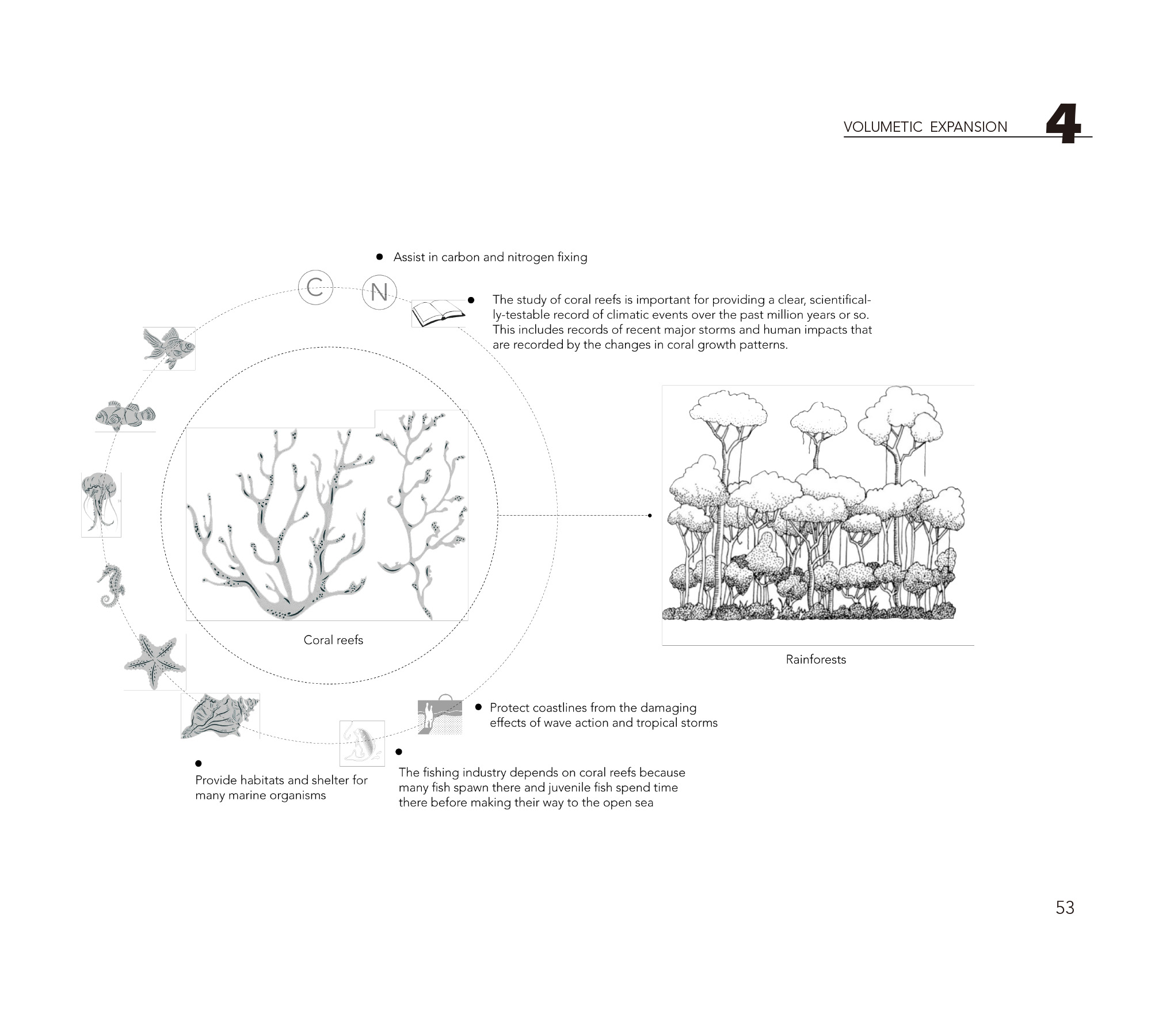
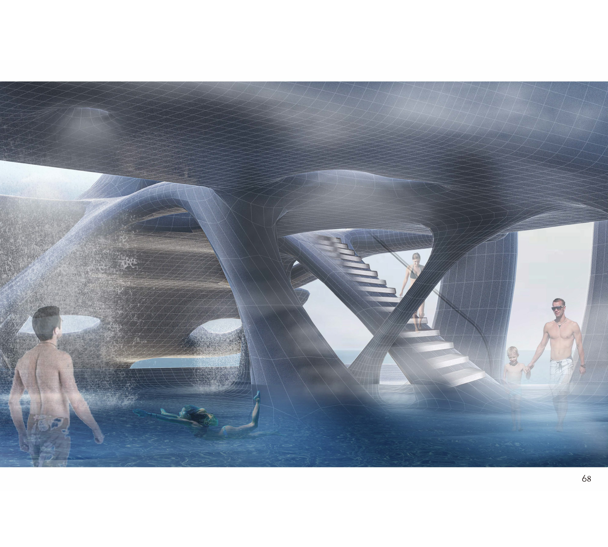
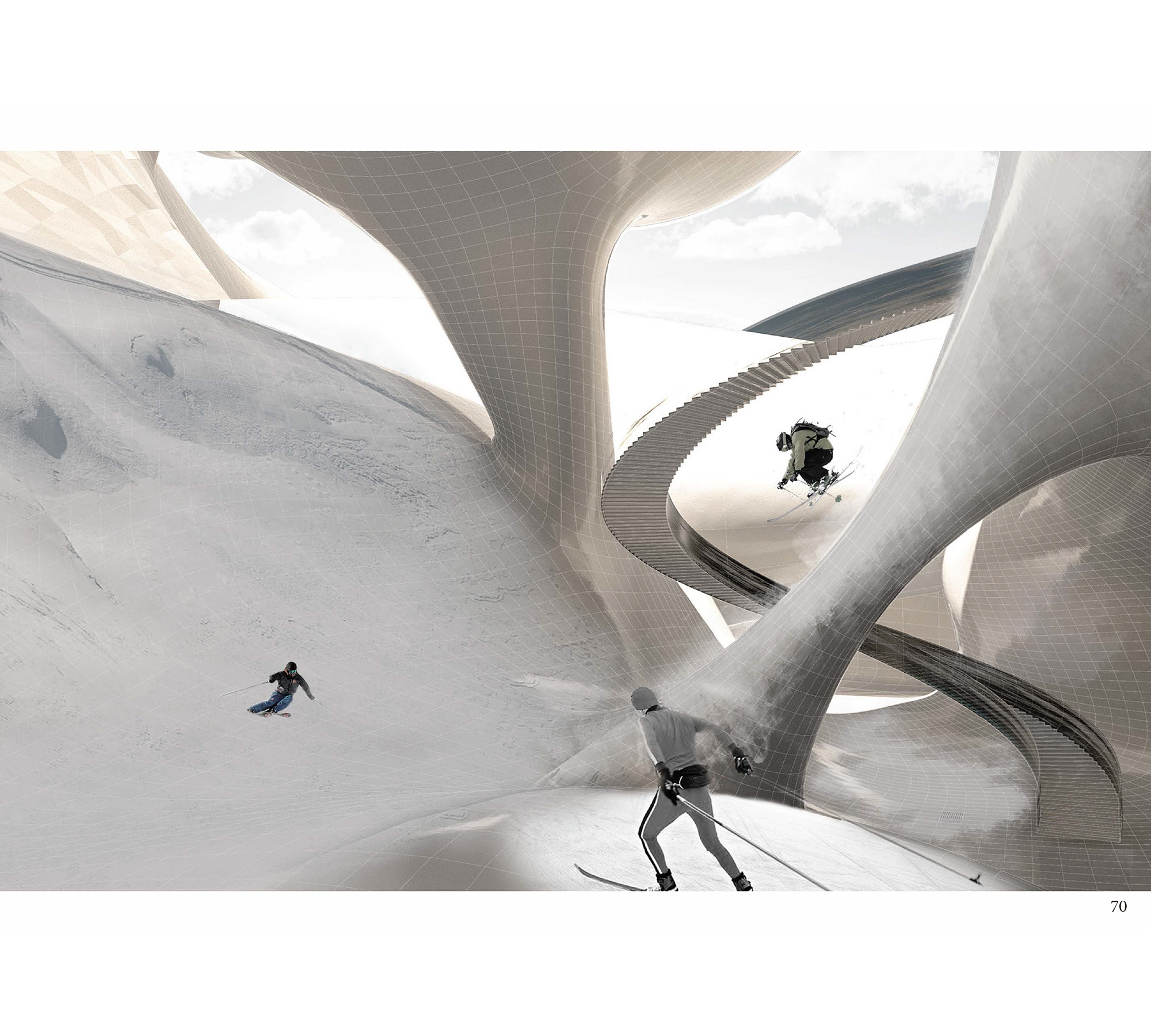
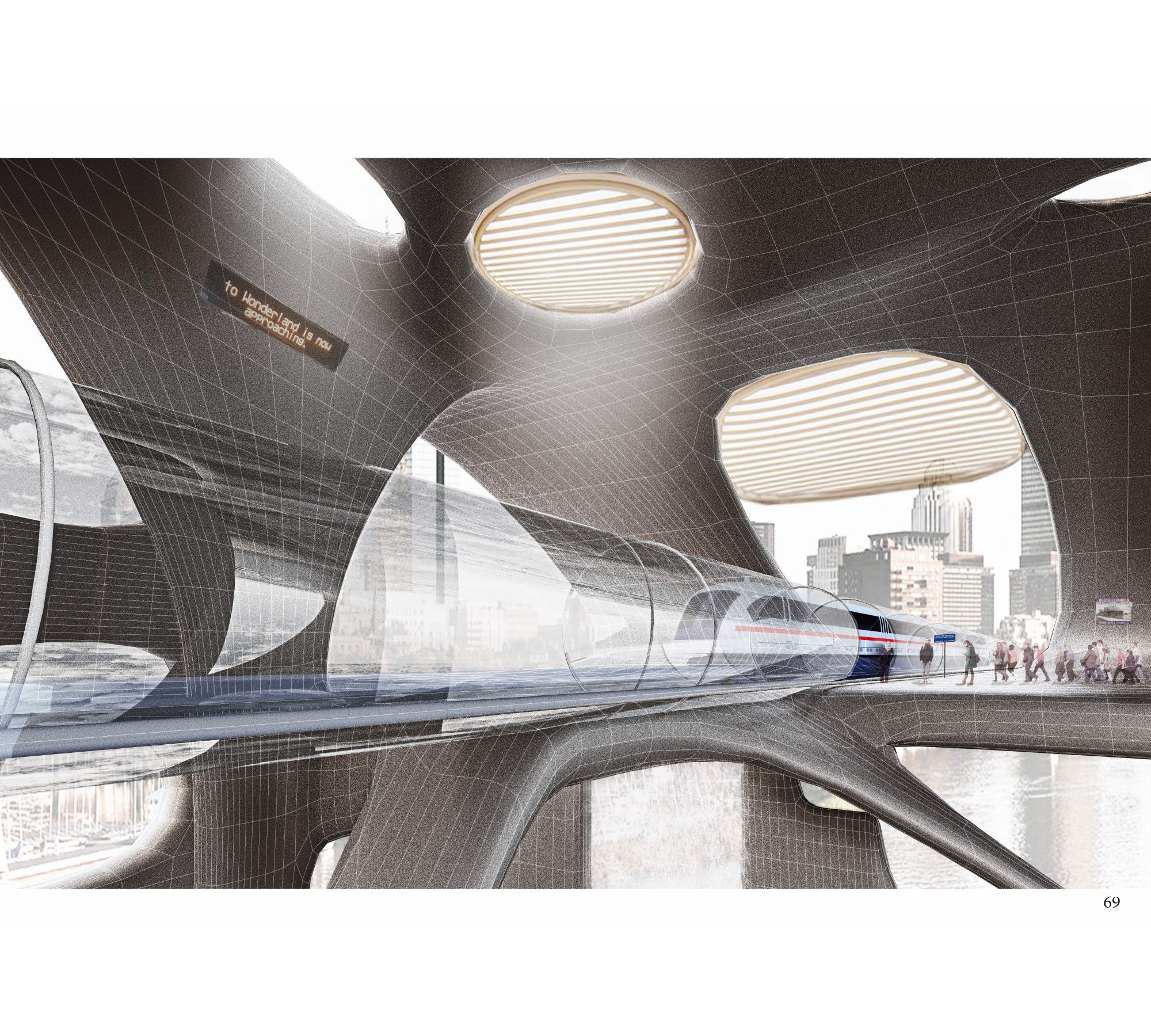
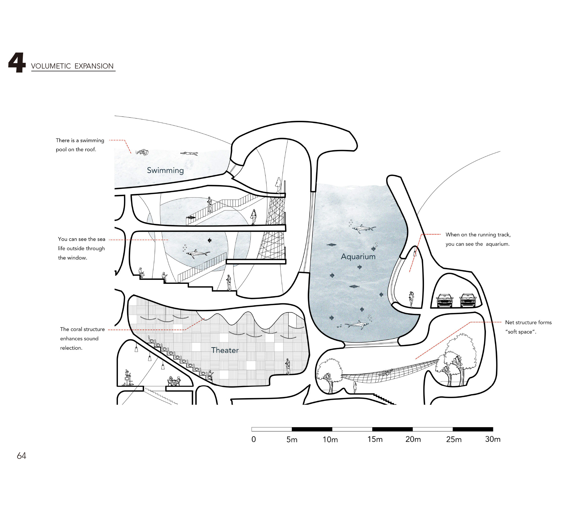
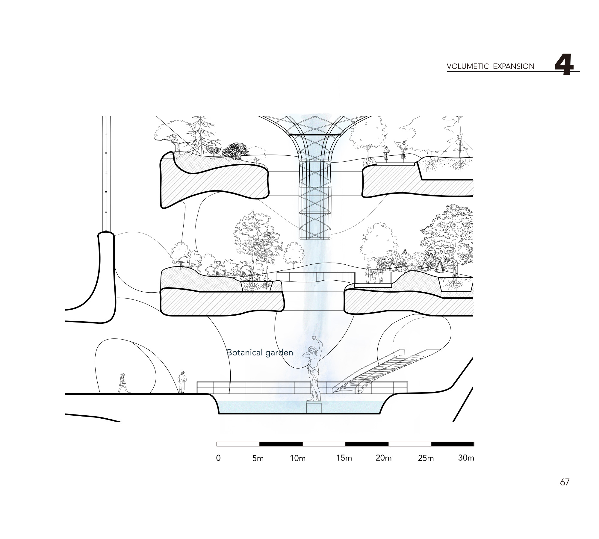
To achieve a complex urban system, the Shortest path system helps to build a connection between separate urban area caused by the flood, which generates a dynamic coral form. The form of coral has a continuous, irregular interior space and intentions to grow in multi-directions, and the holes and channels allow fish and other sea creatures to stay or pass through, which cooperates to the spirit of volumetric space. This spatial organization and interaction between coral and other organisms are applied to the new reef city. The new city is growing out of the flooded area and is expanding in multiple dimensions.