Mapping + Analysis:
Urban Ecology, Landscape, Place, Dwelling
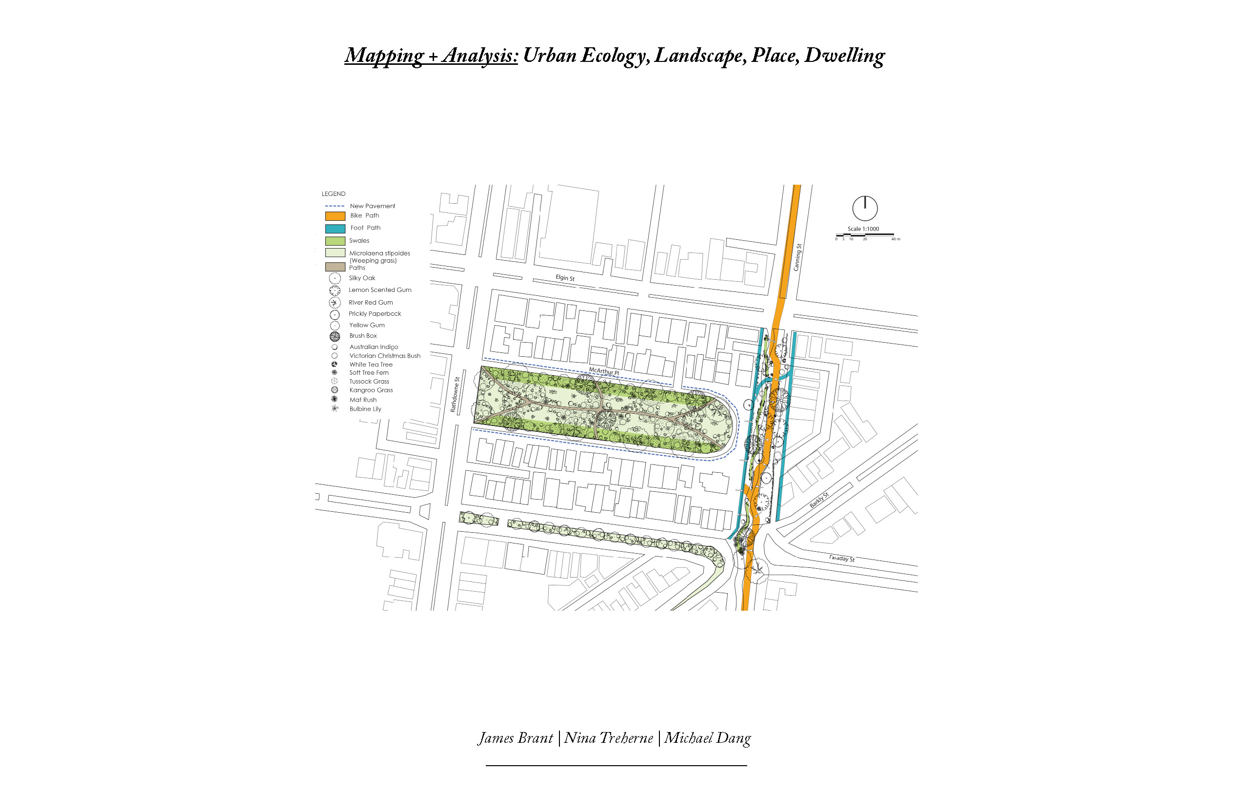
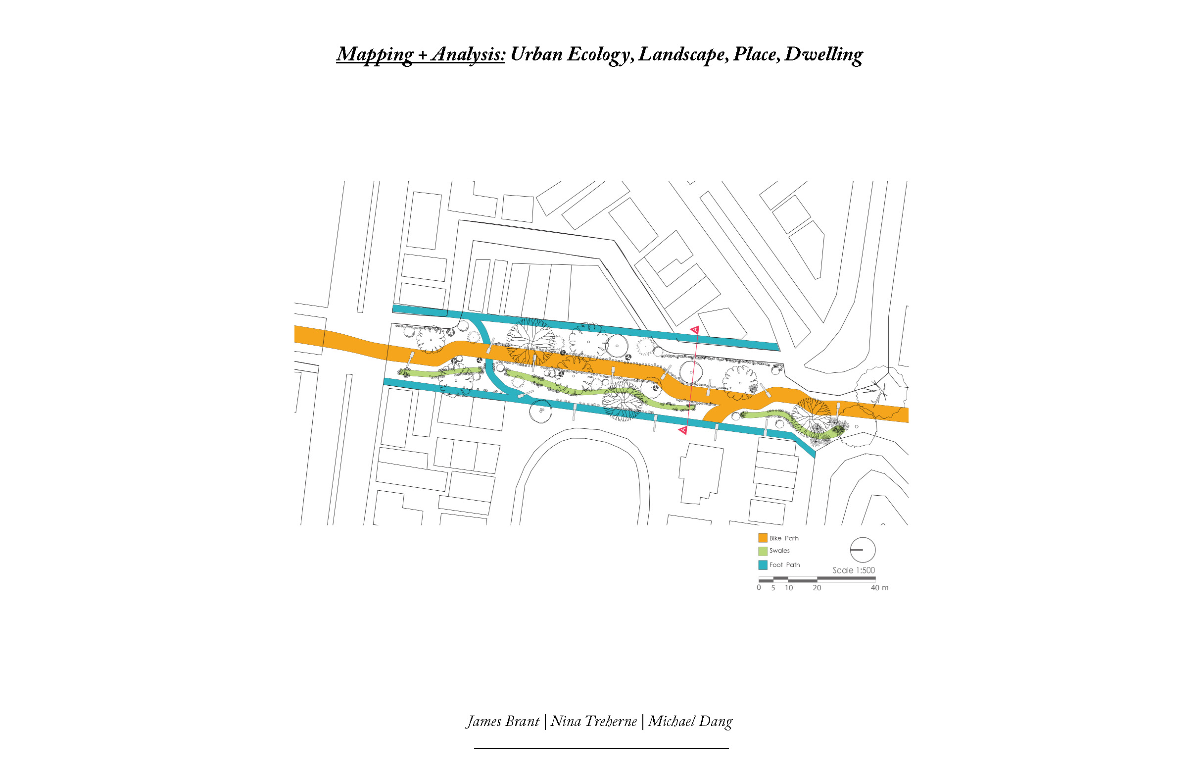
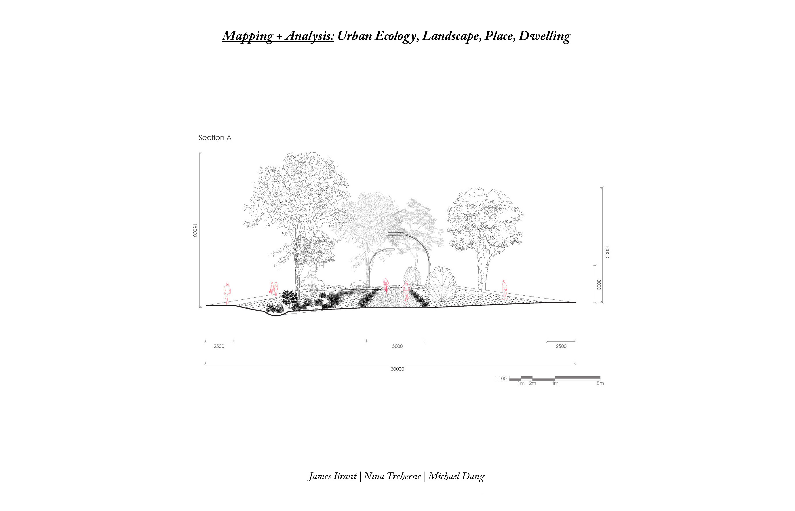
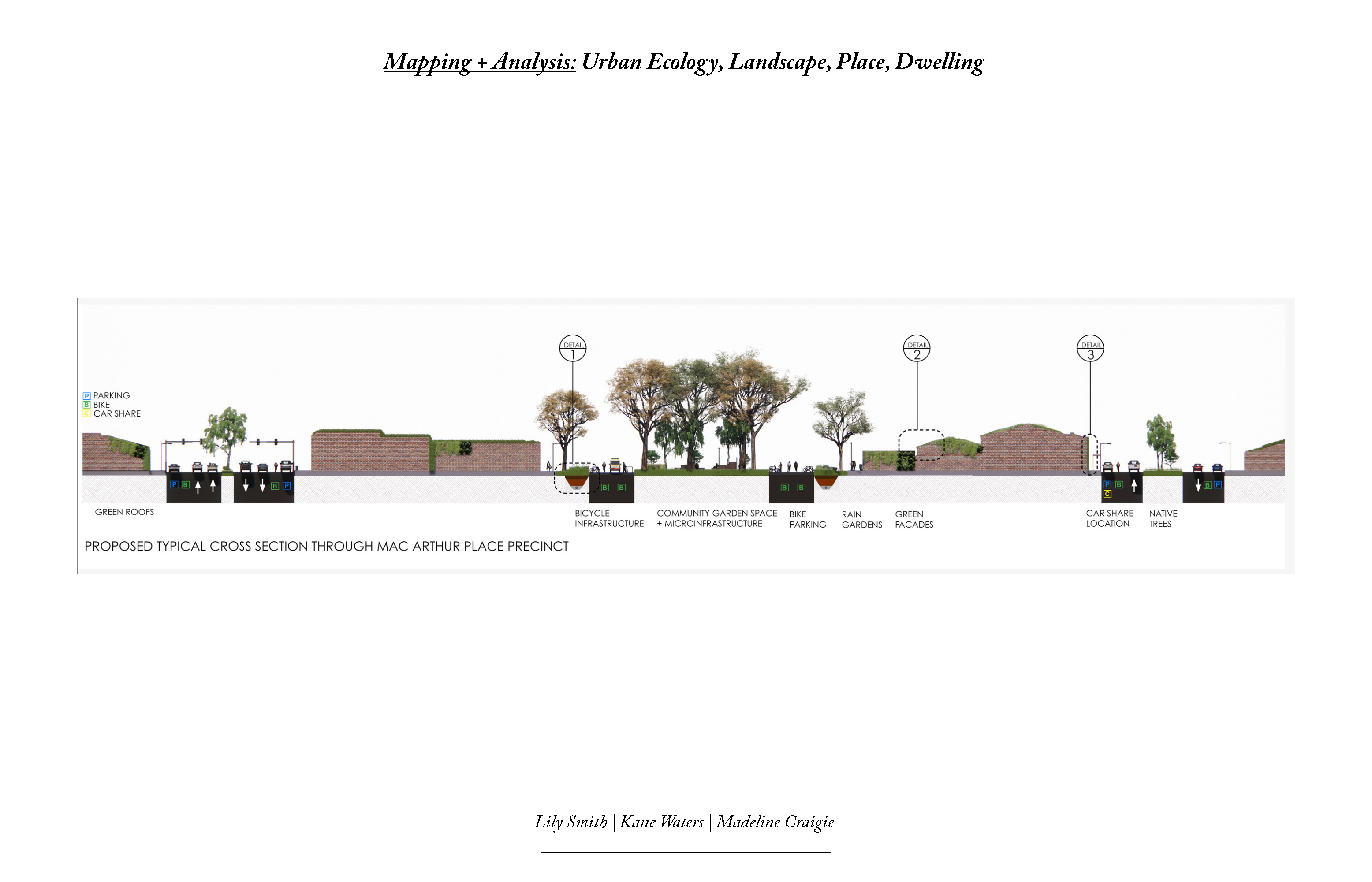
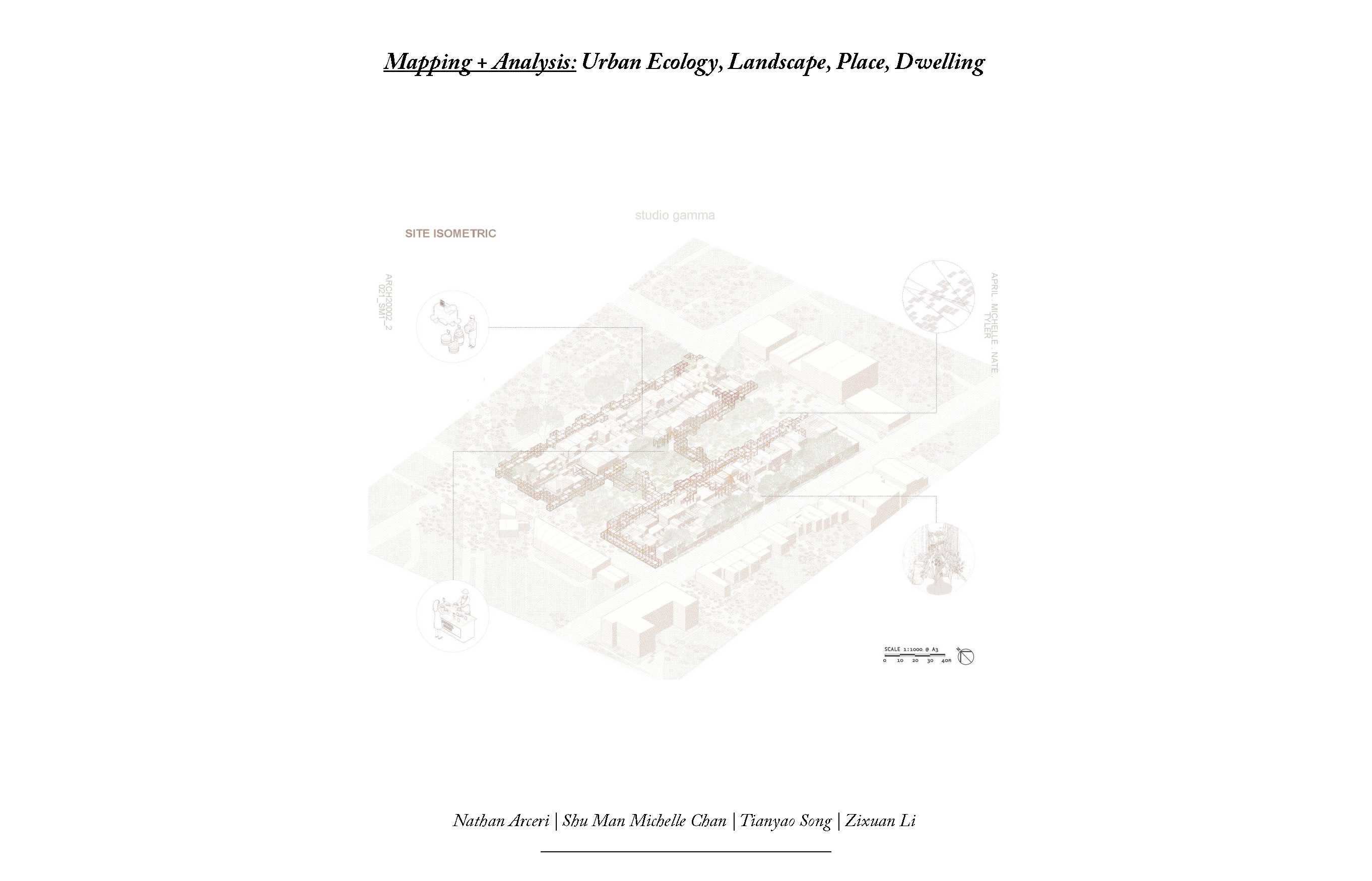
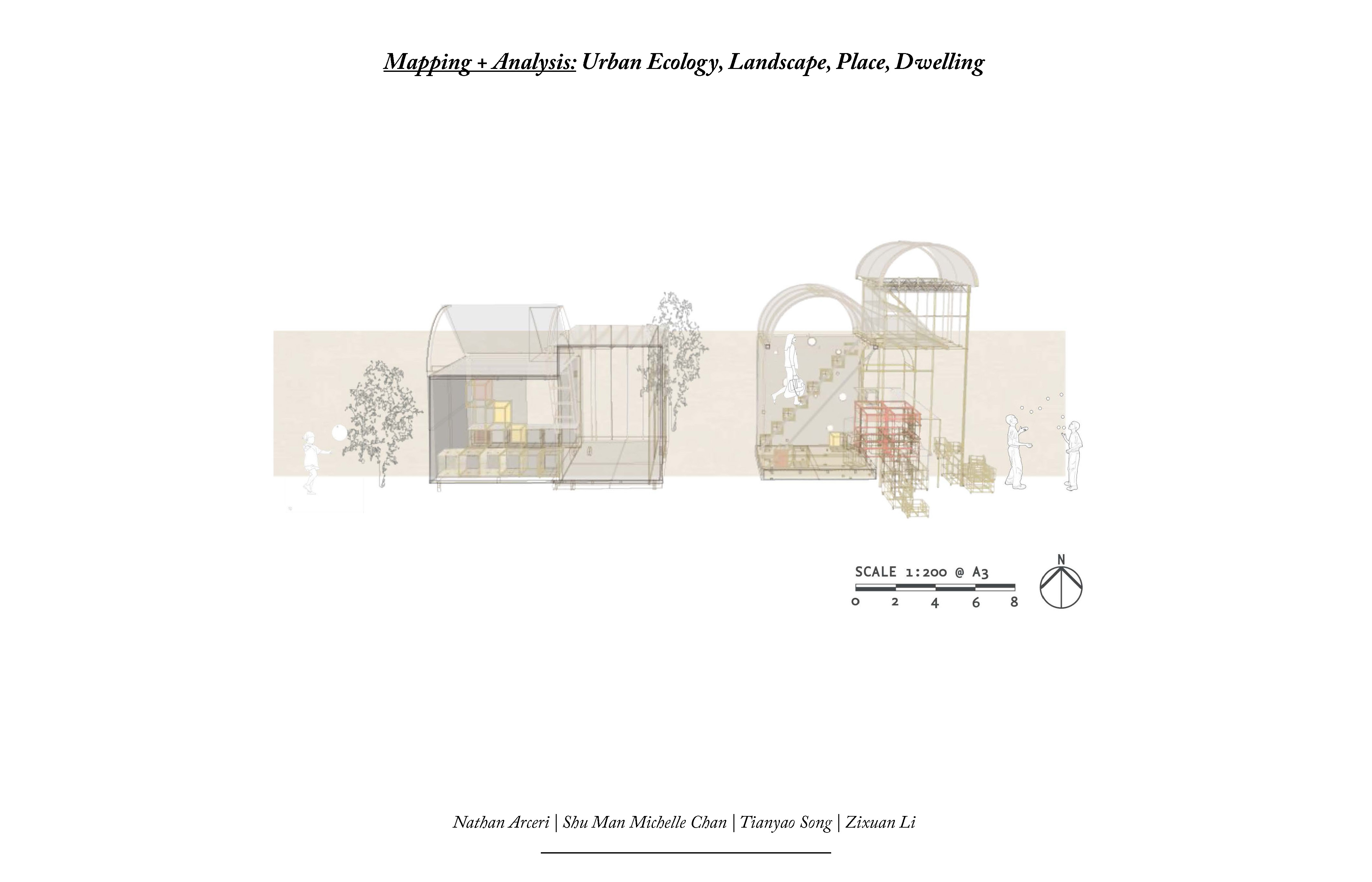
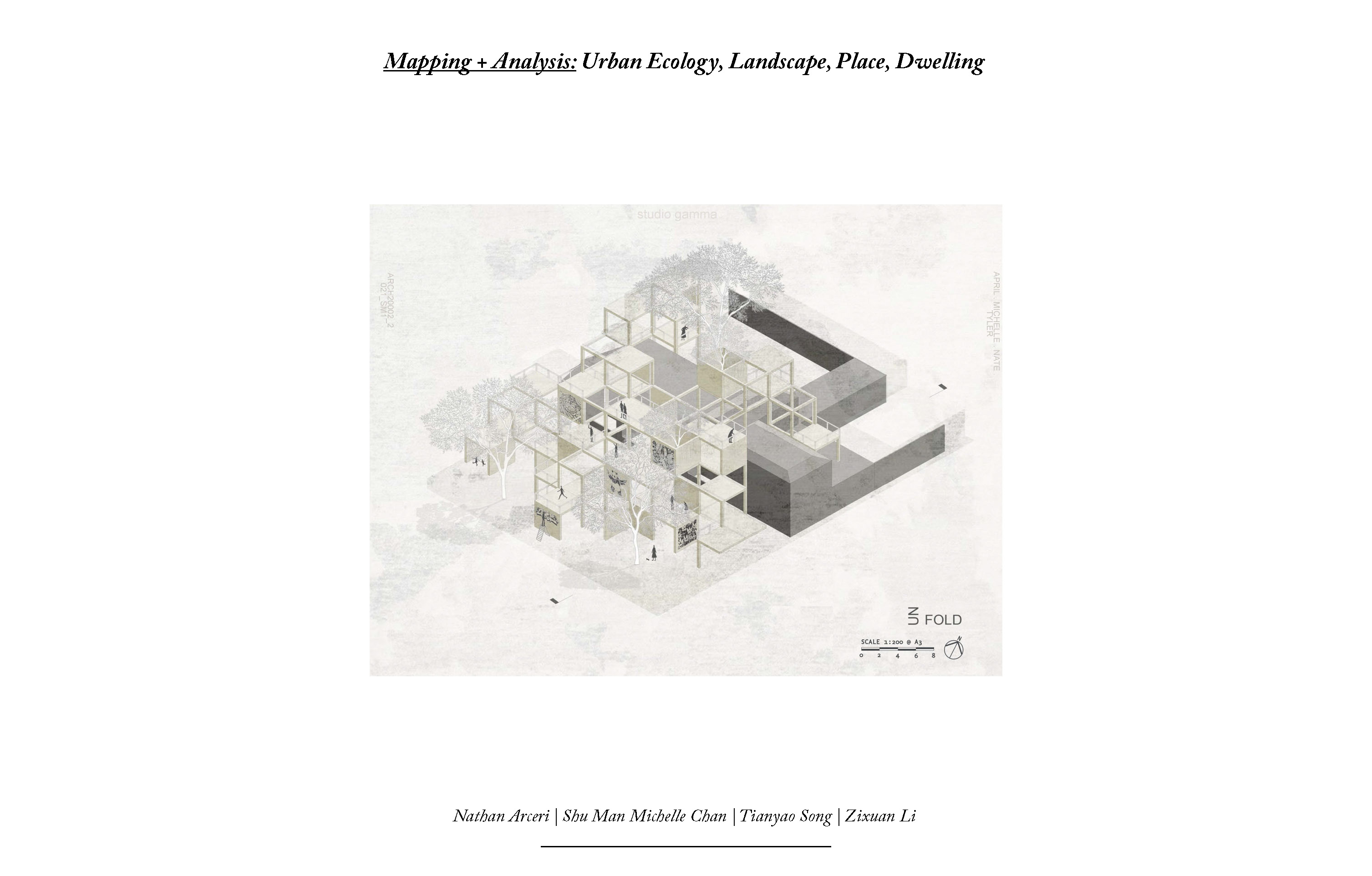
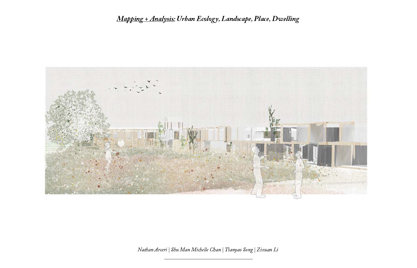
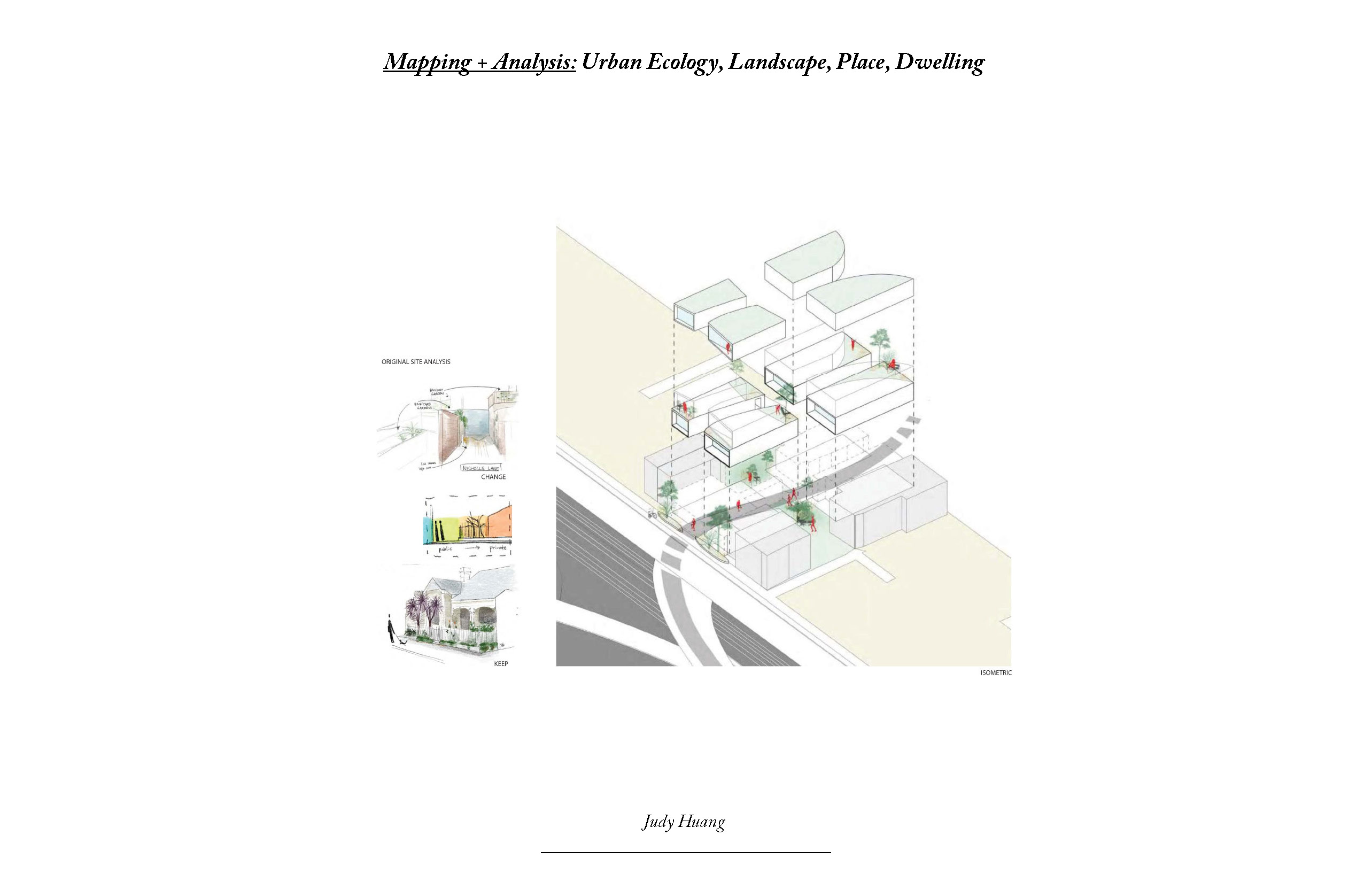
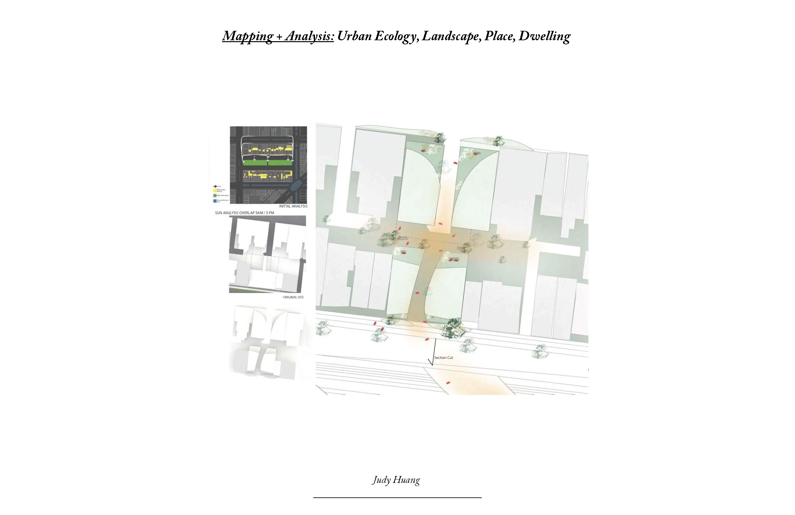
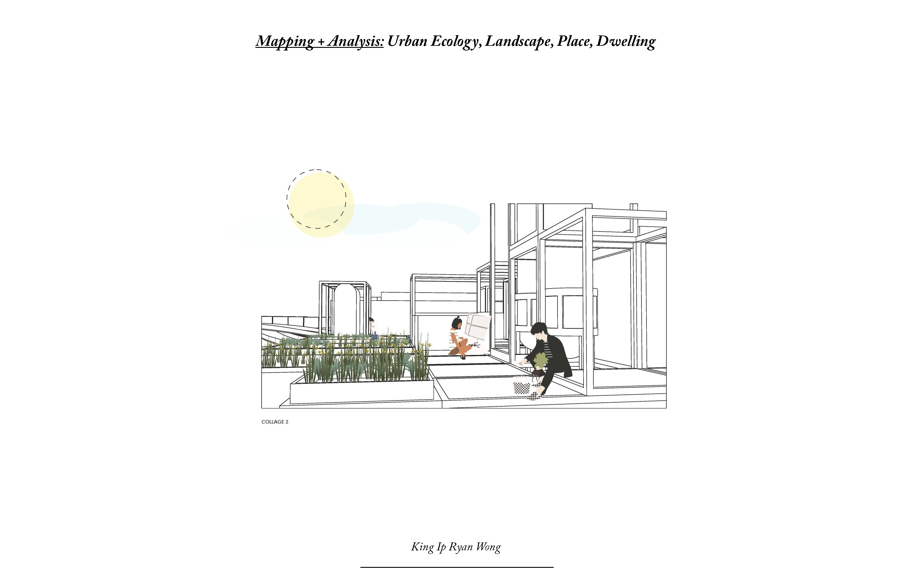
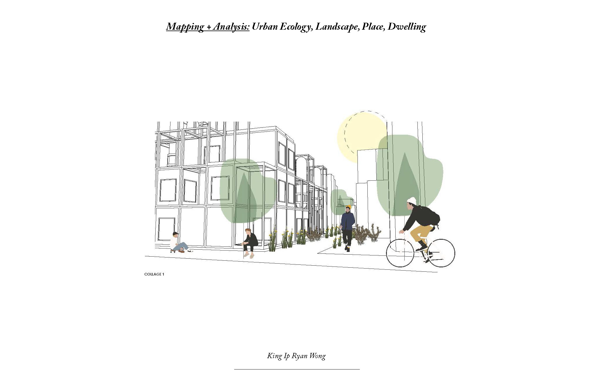
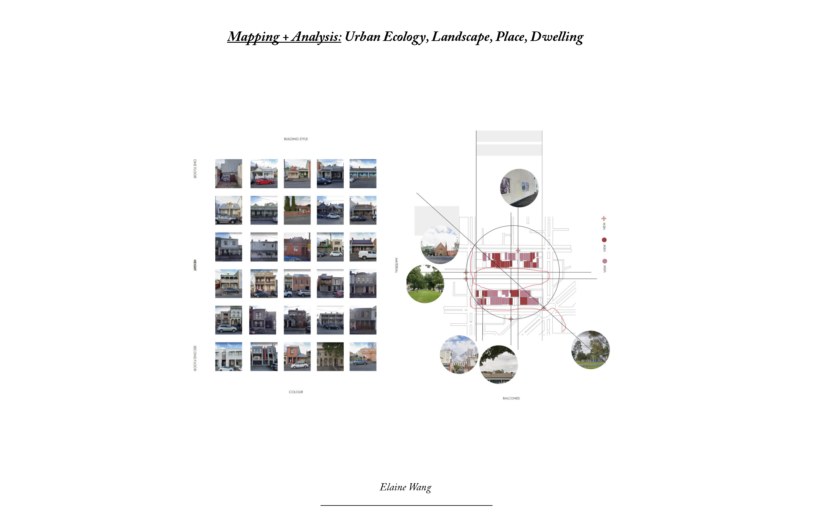
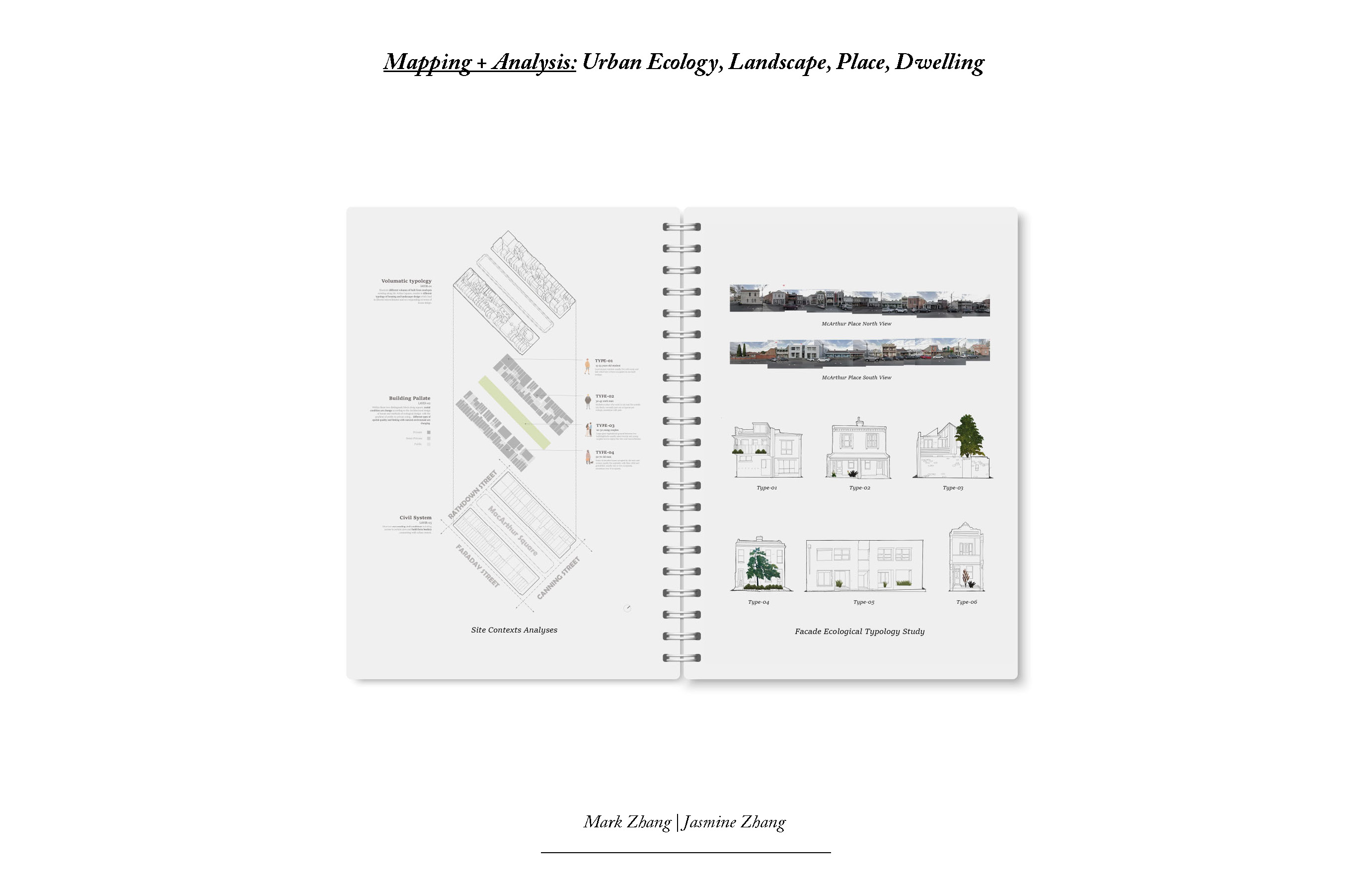
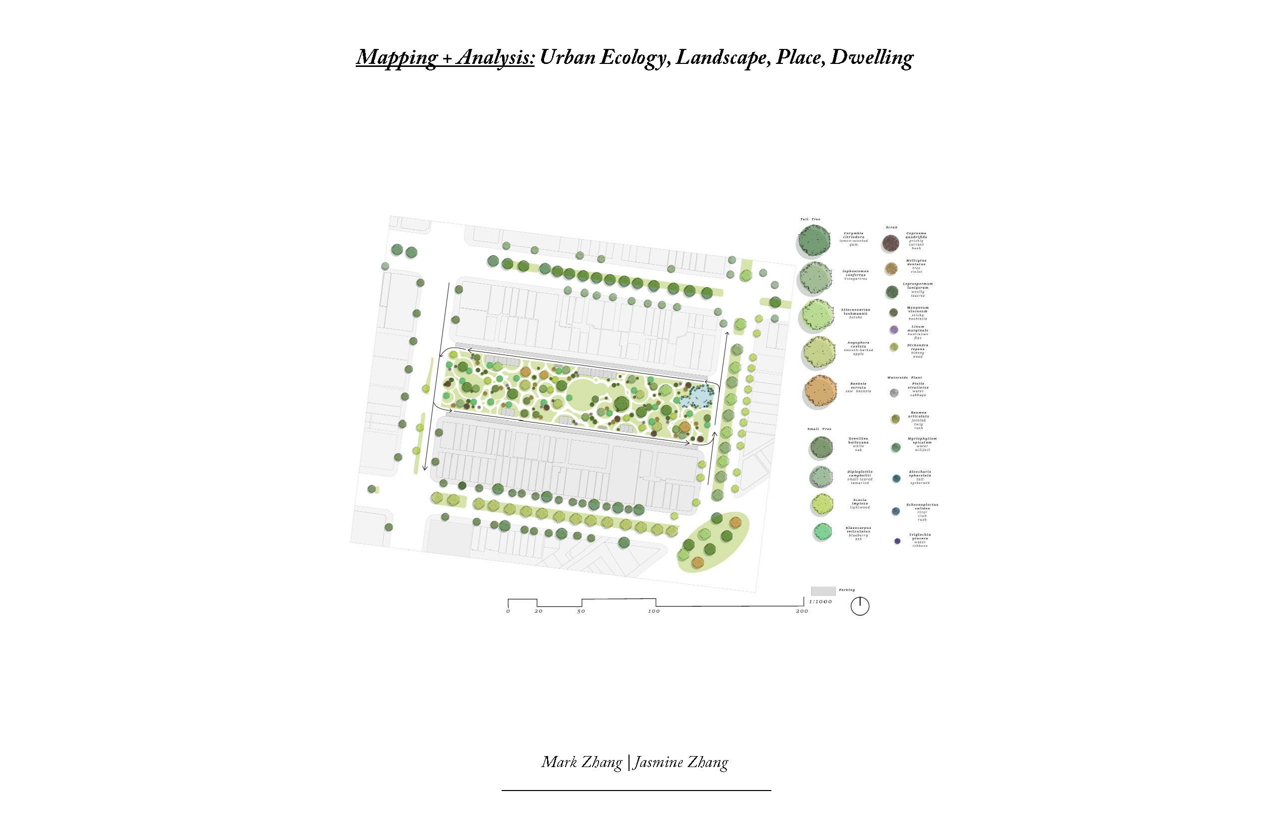
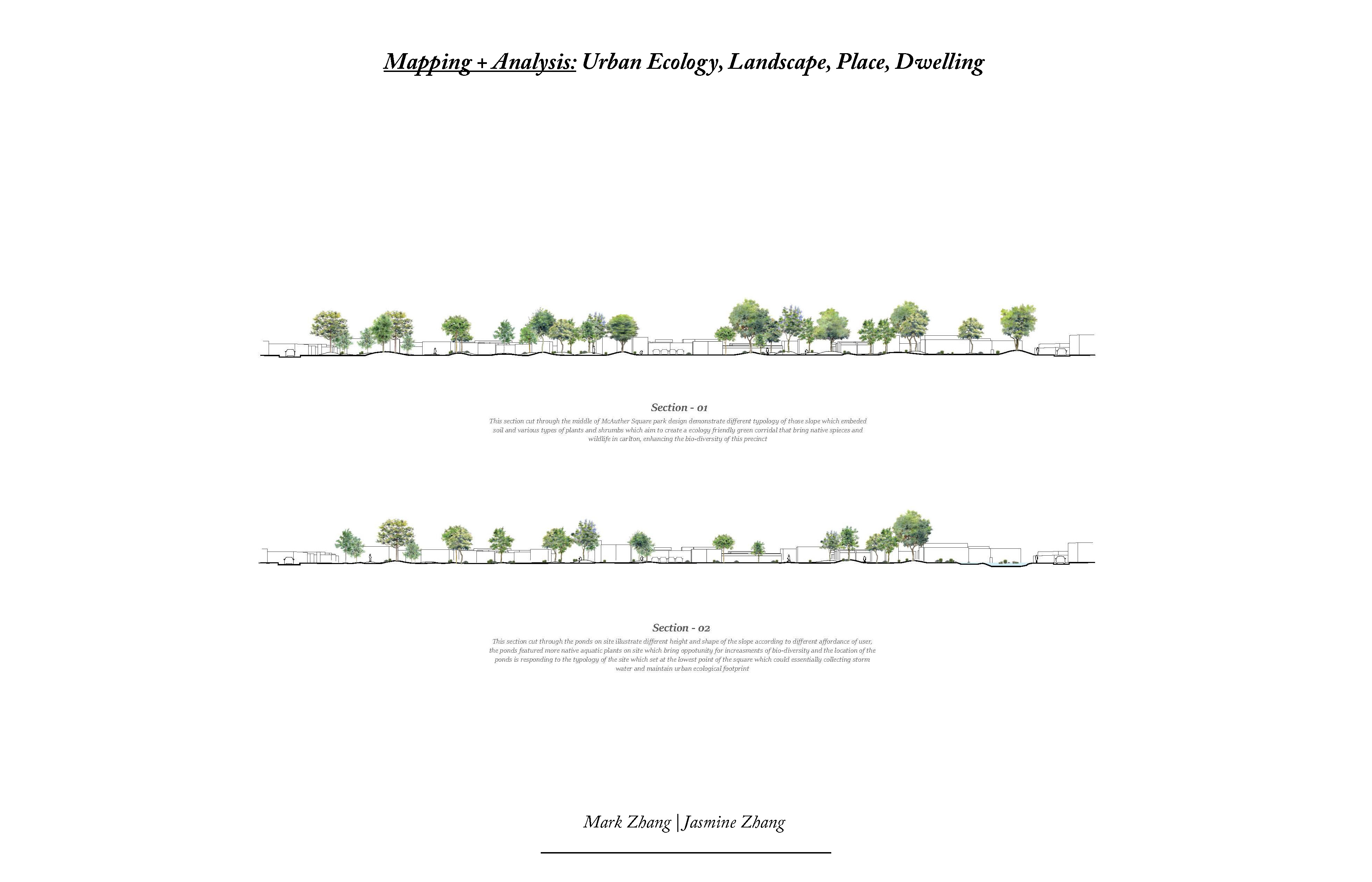
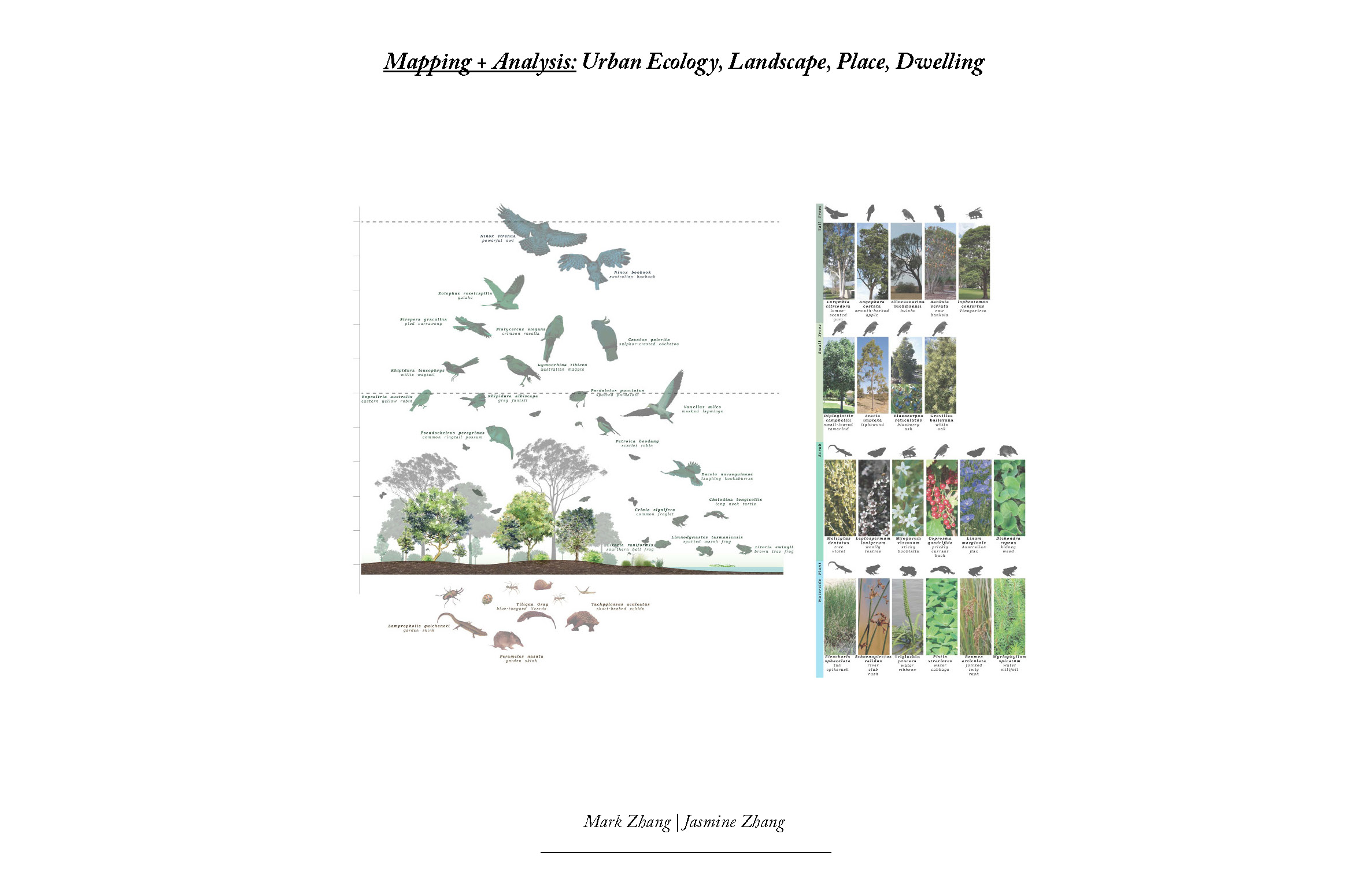
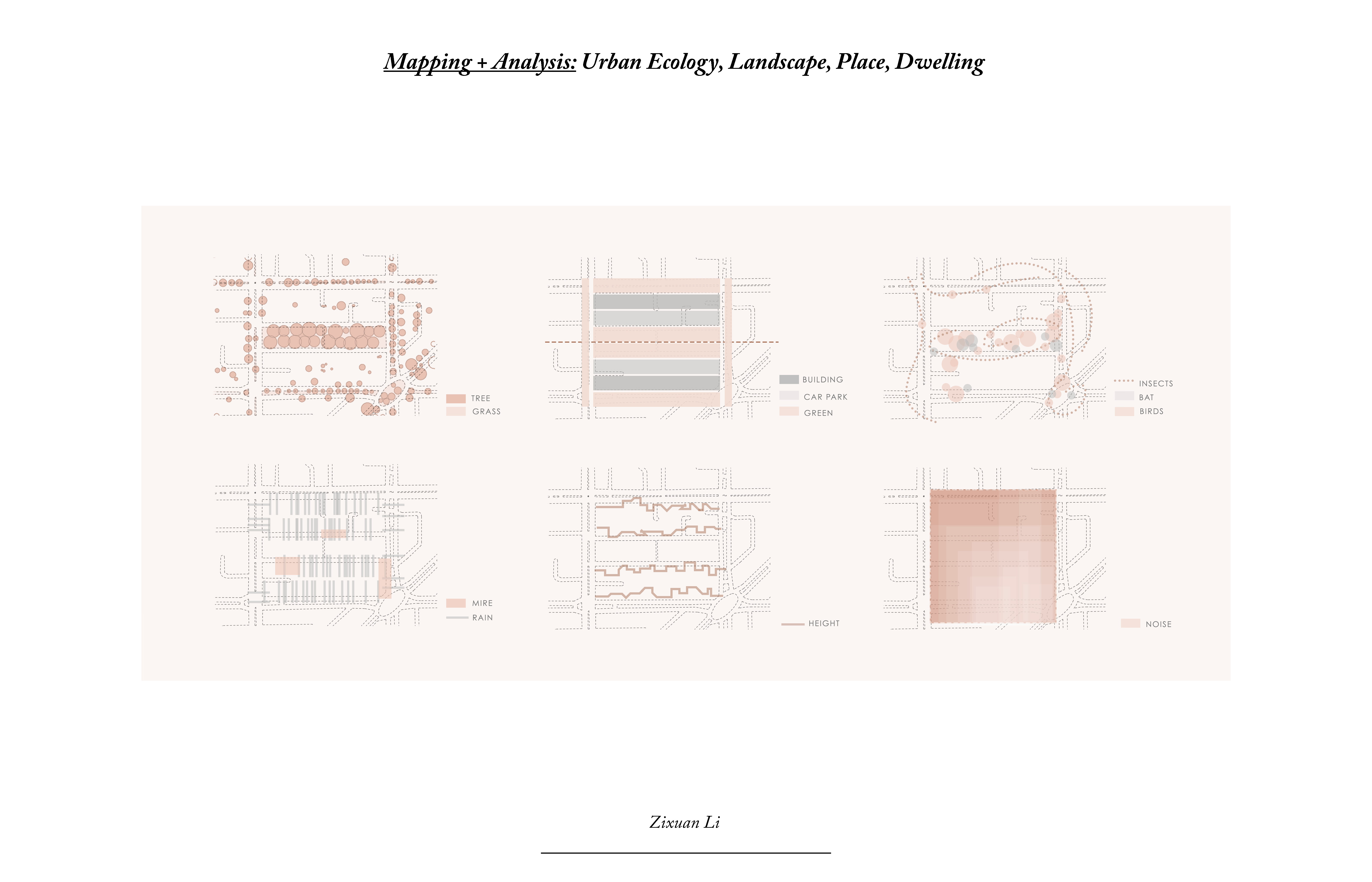
In the first stage of the design project, students were asked to map and analyse the neighbourhood surrounding the MacArthur Place precinct in Carlton. They were required to consider the areas as a configuration of three interrelated systems: built system, ecological system, and civic system.
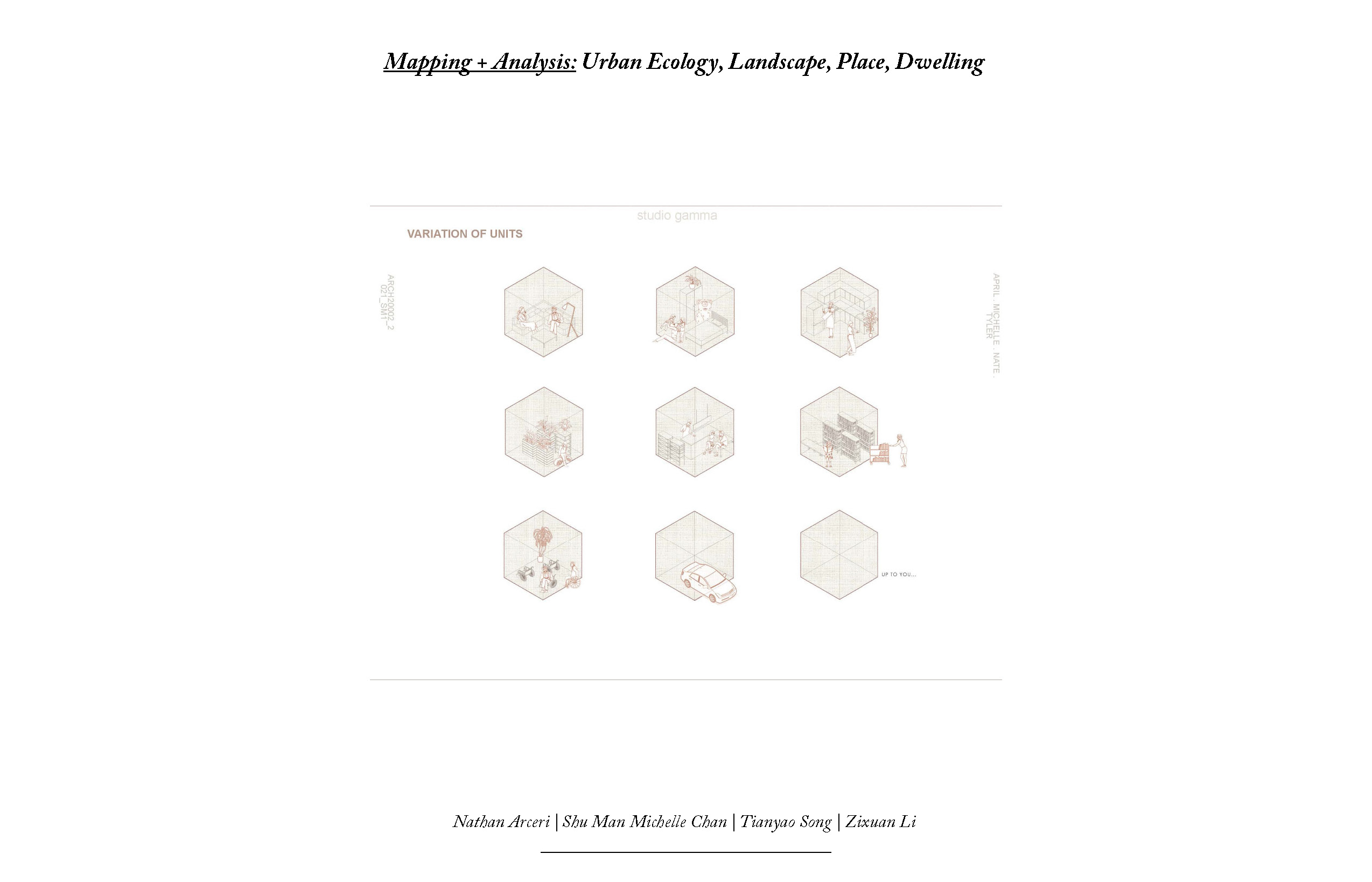
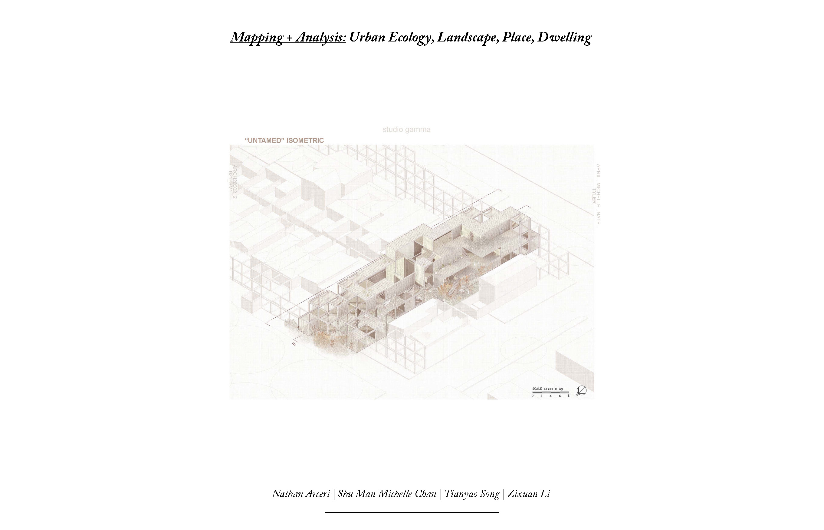
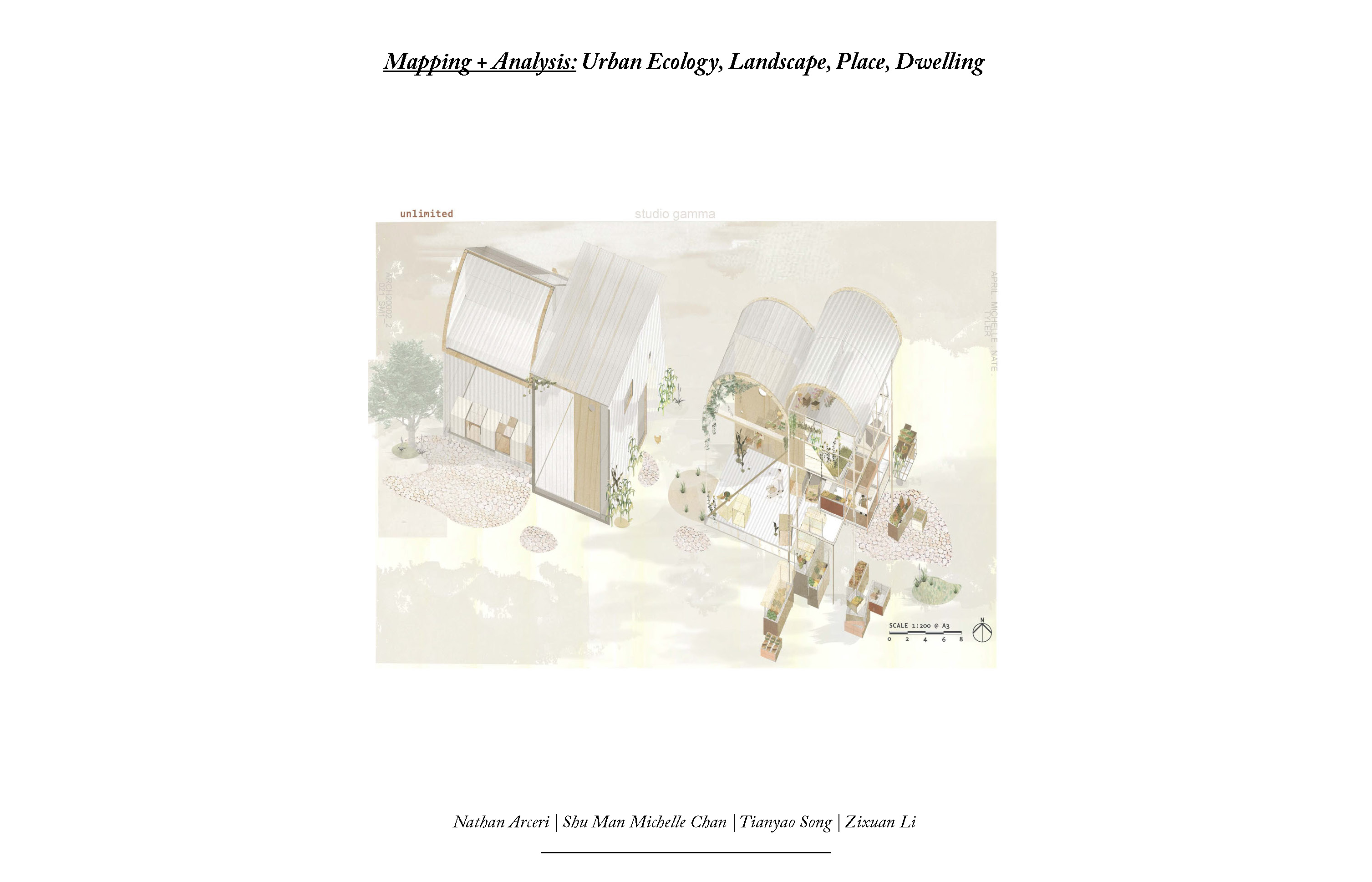
Students used online resources and 3D digital data of the sites. They were required to prepare a series of multi-scalar maps, SWOT analyses and precedent studies. They were also required to prepare a preliminary design framework to help inform the subsequent design schemes of Living Neighbourhood and Living House.