Subject Leader: Ben Waters
SI_Lab provides an in-depth introduction to digital mapping tools including 3D scanning and real-time render engines, enabling students to learn new forms of observation, reproduction, and simulation of spatial environments. The elective focuses on developing students' knowledge and skills in immersive digital technologies, geometry, media, and theory. Through the subject, students are introduced to various advanced mapping technologies, including LiDAR, photogrammetry, and GIS, and learn how to use real-time render engines.
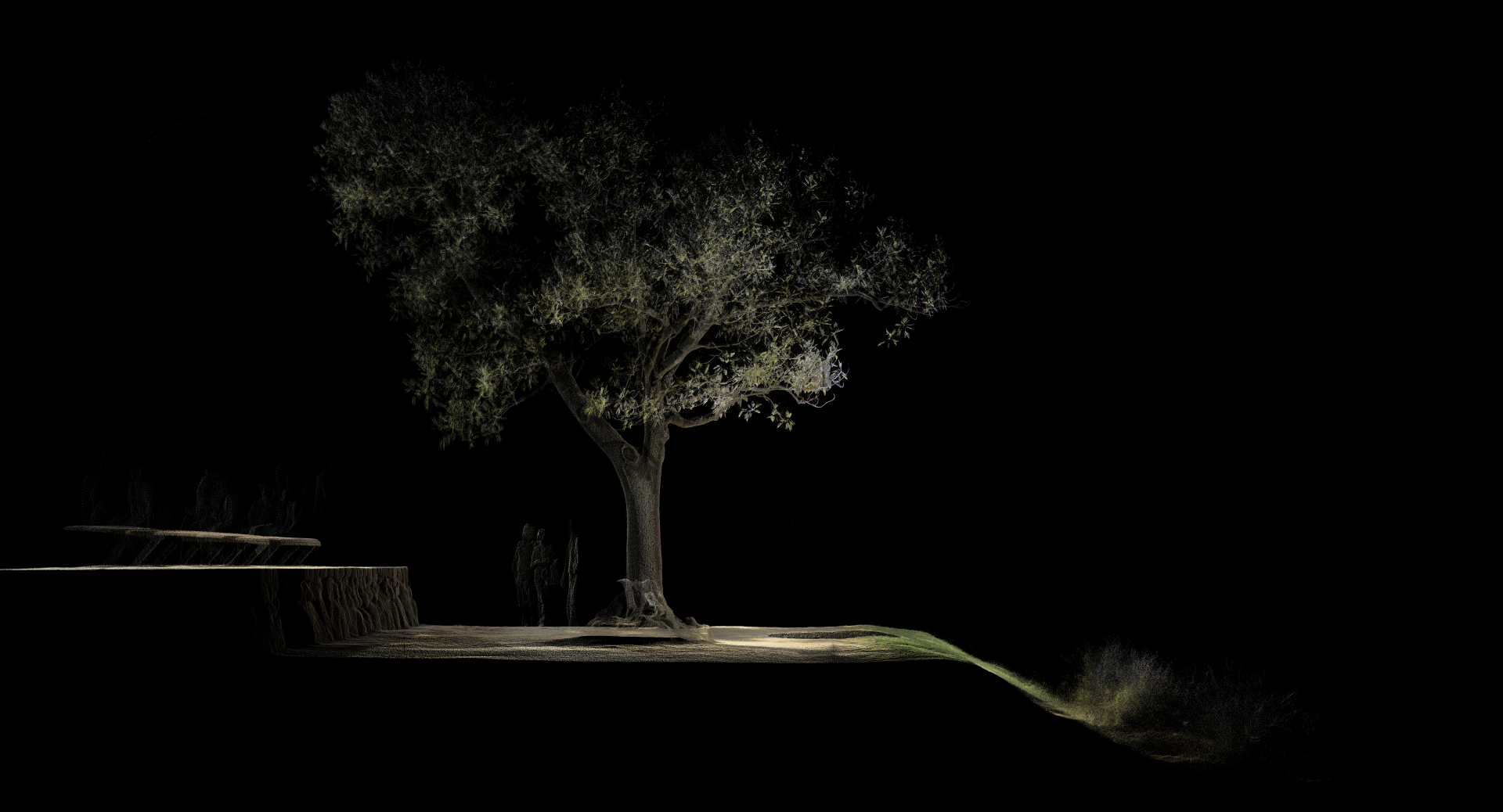
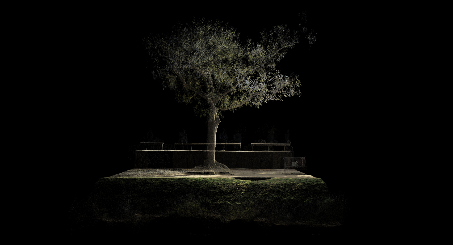
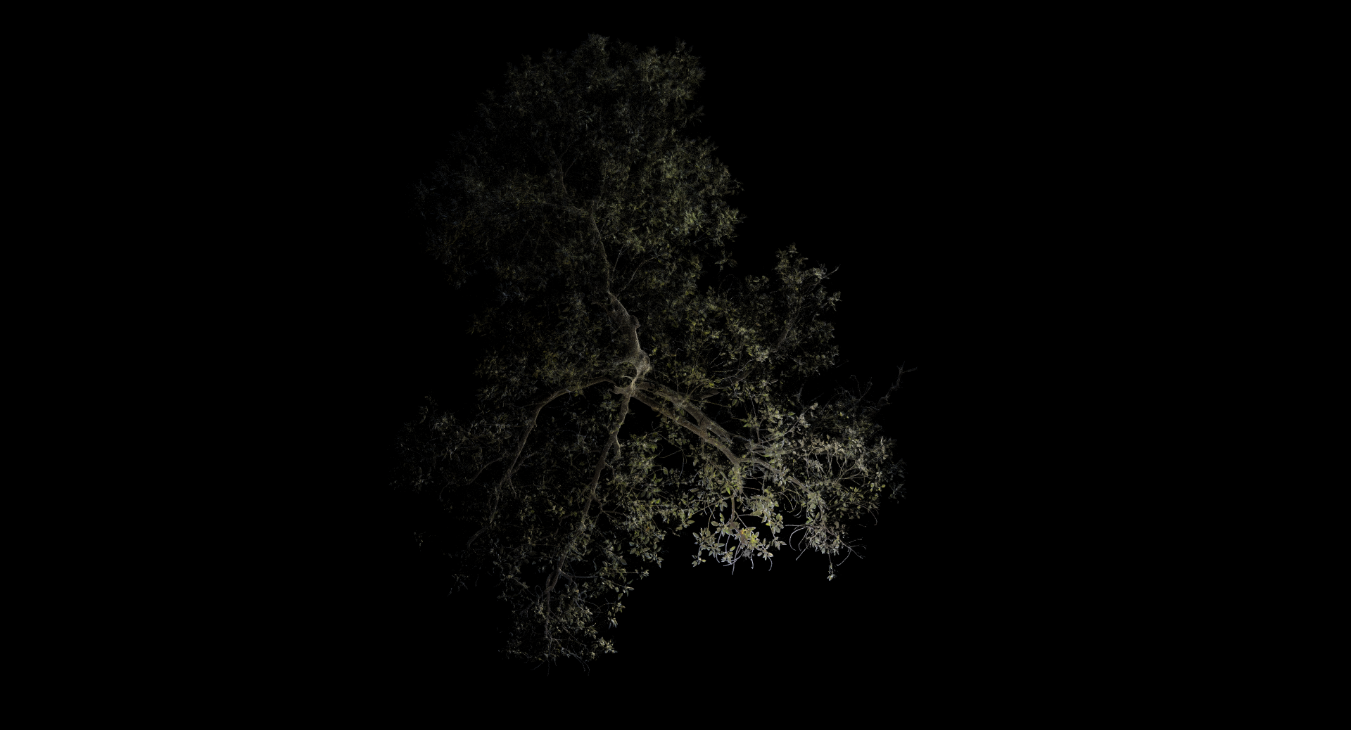
Moreton Bay Fig, Birrarung River, 2023
Using LiDAR laser scanning, students are asked to create highly accurate and detailed digital maps of the Birrarung river's ecological and infrastructural context. Students identify areas where significant trees and plants are located as well as where water management systems have been put in place, such as flood mitigation structures or stormwater drains. These maps become the basis for place-based design speculations for the Birrarung’s riparian edge.
Students
Christopher Ames, Zhen Xiang Ang, Feifan Bai, Kristian Greif, Daniel Ji, Alexandra Khomenko, Tae Wook Kim, Jeonghwan Lee, Jennifer Papaikonomou, Valentina Parada Zambrano, Sean Shan, Rafael Tan
Films from Sem 1, 2022
To experience in AR scan QR code
-
Design Making - Making Design
Design Making – Making Design presents design prototypes and creative speculations, developed by students in the Digital Design and Fabrication Electives (DD+F).
-
Ex_Lab Experimental Furniture Futures
Subject Leader: Associate Professor Rochus Hinkel
-
F_Lab Bespoke Timber Furnitures
Subject Leader: Christina Bricknell
-
R_Lab Made by Robots
Subject Leader: Associate Professor Rochus Hinkel