Studio C/03
The Map and The Territory
Ben Waters
Studio Description
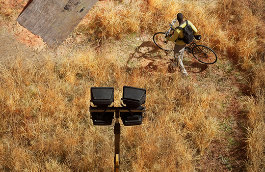
This is a summer term iteration of the ongoing design studio The Map and the Territory. Melbourne’s Western Plains is a hybridised place – a product of the exertion of civil engineering, land management, and the pressures of urbanisation. How public space is designed and planned within this territory, whether built or regenerated, is critical to city’s future edge. Building from the last 3 semester’s foundations, this studio will return to this context for another design project for large scale public landscapes and infrastructures.
Focusing on an expanded notion of site – The Map and the Territory begins with a close reading of the Western Plains via mapping, photography and simulation. A careful and detailed survey is developed using photographs of places across the Plains, transformed into simulated reproductions using advanced gaming engine environments. These virtual reproductions of site create a blur between real and fictional, allowing for stories of past, present and future to imbue the design process.
Together with GIS digital mapping data, these constructed images and models serve as a portrait of site and contain symbolic and formal inclinations that later become the elements and assets we use to construct the design project with.
Studio Outcomes
Within this studio, the concept of place is explored as a space or locale that is imbued with meaning across time through everyday activities. Everyday activities, especially those in the form of physical culture, are the basis of the programming of the studio project – an ‘anti-park’ for Melbourne’s West.
In the studio we will design 3 large scale public spaces –
- The Field – an ‘anti-park’ - a spatial project that speculates on alternative cultural relationships within the plains.
- The Line – a pathway infrastructure that provides access to and from the field.
- The Shed – a commercial seed production facility.
We will conduct field trips to the plains, using photography and photogrammetry tools to conduct a developed form of site analysis – the photographic survey. This studio will be conducted in a hybrid format - studio sessions will vary across on-campus meetings and formal reviews, online meetings and workshops and on-site field trips. The studio fosters a collaborative and inclusive group dynamic, immersing ourselves in real and virtual ecologies and environments.
Technical tooling workshops will be carried out for students to develop skills in photography, gaming technologies, drawing and sketching. No prior software specialisation is required.
An archive of student work from Studio 03 can be viewed at the following link –
themapandtheterritory.cargo.site
Studio Leader/s
Ben Waters is an architect and founder of S-I Projects – a design agency working at the intersection of technology, ecology and cultural heritage. Ben is also principal at Waters Architects, a regional based architecture practice working alongside communities to transform spaces into thriving environments.
Readings & References
Theory
- First Knowledge’s - Plants: Past Present and Future – Cumpston, Fletcher, Head
- A Cautious Prometheus? A Few Steps Toward a Philosophy of Design – Bruno Latour
- Socializing Nature: Theory, Practice, and Politics - Noel Castree
- Creative Ecologies - Helen Frichot
- Ecology without Nature - Timothy Morton
Photography
- The Map and the Territory – Luigi Ghirri
- Artificial Arcadia - Bas Princen
- Magic World: A Future Report from Shepparton – Tacita Dean
Media and Software
- Unreal Engine – Real Time Graphics
- Photography
- Photogrammetry
- GIS – mapping
- Rhino
Schedule:
Wednesday 9:30am-4:30pm MSD 138
Thursday 9:30am-4:30pm MSD 138
Off-site Activities:
West Werribee, Melbourne Week 2